AIScientific modelsStory 03
An open model maps the Moon
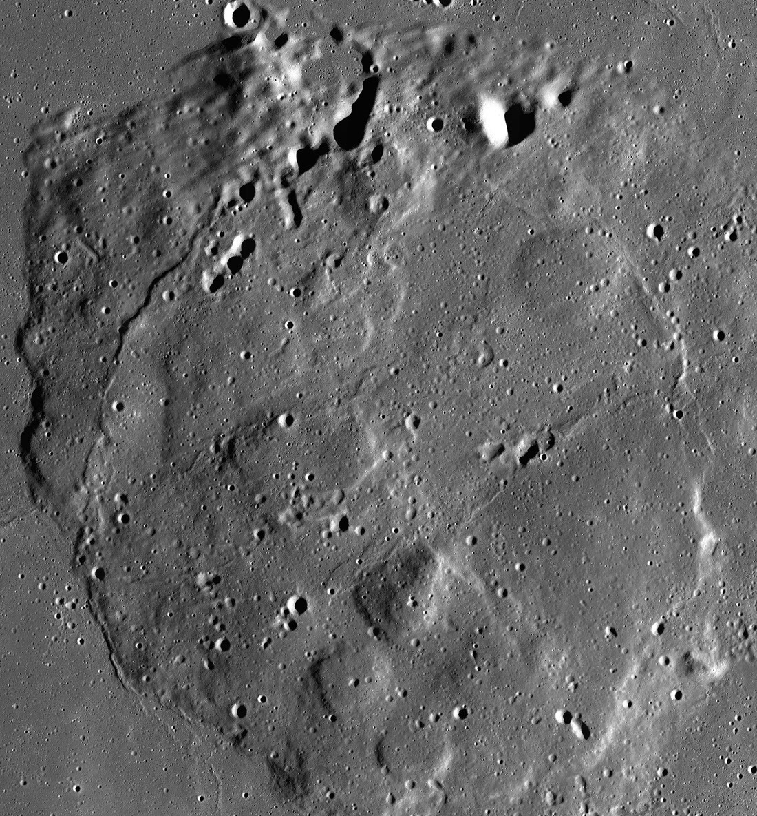
What changedNASA and IBM released an open foundation model trained across several lunar remote-sensing instruments. Researchers can adapt the shared representation to crater, terrain and possible water-ice mapping instead of training each task from scratch. The partners report the evaluations, and the model’s likely ice locations remain estimates rather than confirmed deposits.
The useful part
Why it matters
A shared open representation can lower the cost of combining several lunar sensors and make downstream scientific models easier to compare and reproduce.
Worth doing
What to do next
Review the released training data, sensor coverage and validation protocol before using its maps to prioritize scientific targets.
Keep in mind
Good to know
Evaluation is partner-reported, and predicted ice locations require confirmation through additional observations or missions.
Evidence